

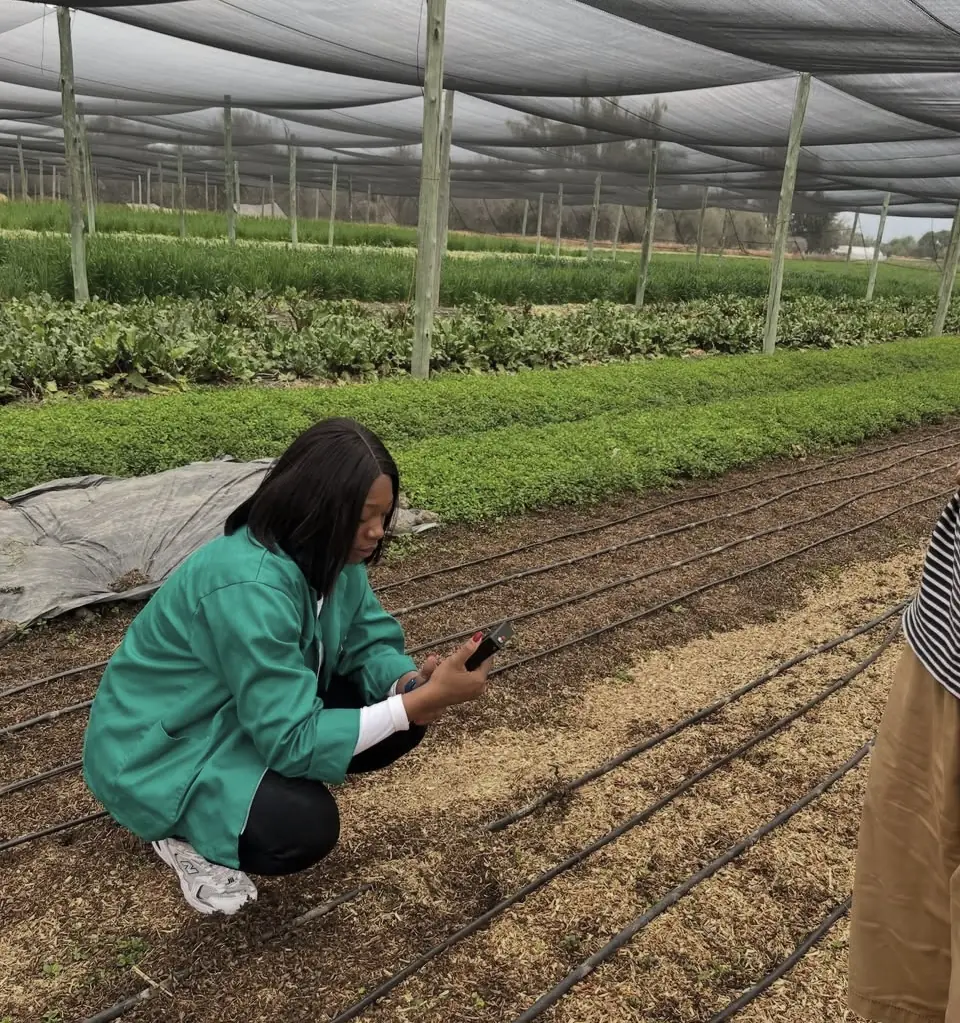
Environmental monitoring on ground and on record
Soilo gives environment teams a shared record for soil, moisture and site data across landscapes, restoration projects and industrial buffer zones. Field readings become structured evidence, not a stack of photos.
Teams monitoring the environment they operate in
Public and private teams whose licence, community mandate or corporate commitment depends on defensible field data.
Restoration project teams
Rewilding, mangrove and landscape restoration teams that need baseline and progress data across seasons, not a one-off report.
Industrial EHS and sustainability teams
Manufacturing, mining and infrastructure operators monitoring soil and environmental conditions around facility buffer zones and community sites.
Landscape and watershed programmes
Public and NGO programmes running long-term monitoring across catchments, protected areas and multi-village landscapes.
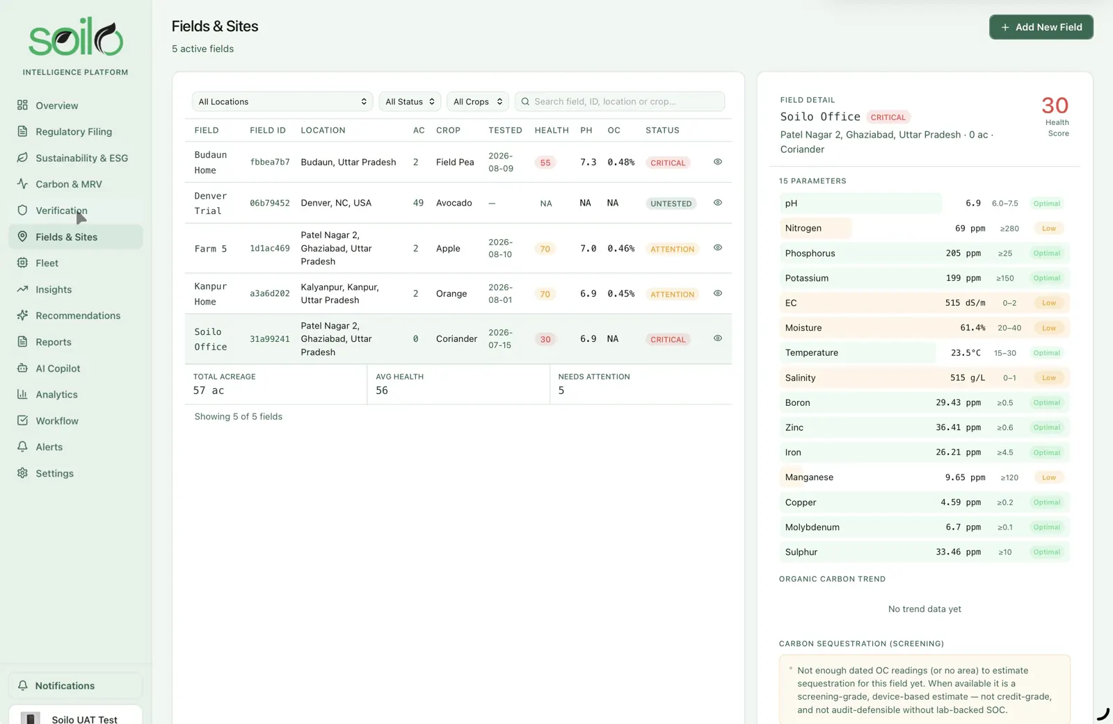
Fields & Sites
Every field's parameters in one view
Health scores, pH, organic carbon and 15 parameters per field, ready for agronomy and reporting.
Enterprise Ground Intelligence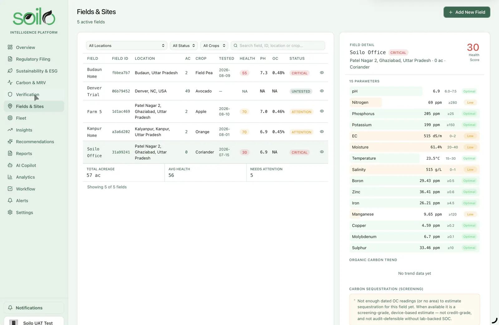
Field data that behaves like a record
Portable field readings
Soilo Essence 5 for soil parameters and, where installed, Soilo Presence field stations for continuous environmental monitoring.
Sites and boundaries
Every site, plot and buffer zone is a persistent record with GPS boundaries. Readings and notes attach to the site, not to a person's inbox.
Time-series trends
Track soil health, moisture and EC across seasons and years. Time-series stay intact even as field teams change.
Restoration baselines
Structured baseline data for restoration projects and repeated progress observations against the same plot map.
Buffer-zone monitoring
Structured soil and environmental data around facility perimeters, tied to the site record and the reporting cycle.
Regulator-ready exports
Structured reports and exports for regulators, boards and community reporting, so the same data serves several audiences.
From site map to seasonal report
- 1
Map sites
Sites, plots and buffer zones set up with GPS boundaries.
- 2
Baseline the ground
Initial readings and documents captured against each site.
- 3
Monitor over time
Repeat field readings, notes and documents on schedule.
- 4
Report
Structured outputs for regulators, boards and communities.
Environmental use cases Soilo already serves
Restoration and rewilding
Baseline and progress records for mangrove, forest and grassland restoration, with plot-level history that survives team changes.
Industrial buffer zones
Soil and environmental monitoring around facilities, tied to the plant and the reporting period the EHS team runs on.
Watershed and catchment plots
Long-term soil, moisture and EC observations across catchments, structured for public reporting and analytical partners.
Community and licence reporting
Environmental data behind community disclosures and licence conditions, source-attributed and version-controlled.
Environment, FAQ
Partner with us
Join the journey
Work with Soilo on your soil, sustainability and reporting goals.
Get in touch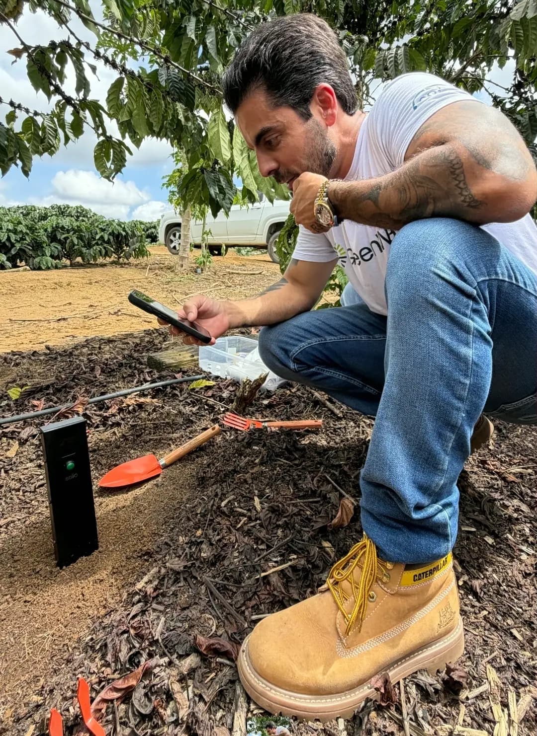
Bring the environment onto your data spine
Talk to Soilo about a restoration project, a facility buffer programme or a landscape monitoring rollout.